LandLibrary turns maps, records, and local knowledge into clear, practical guidance — helping you look after your land, strengthen your neighbourhood, and support your region.
We help landowners see what they truly own. Soil health, water access, biodiversity, and climate resilience. So they can make decisions that protect, enhance, and earn from their land.
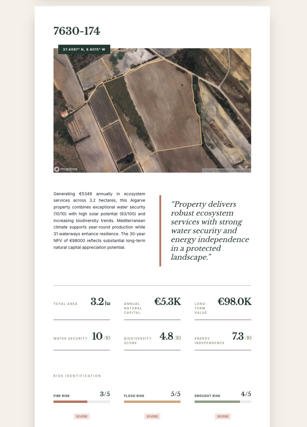
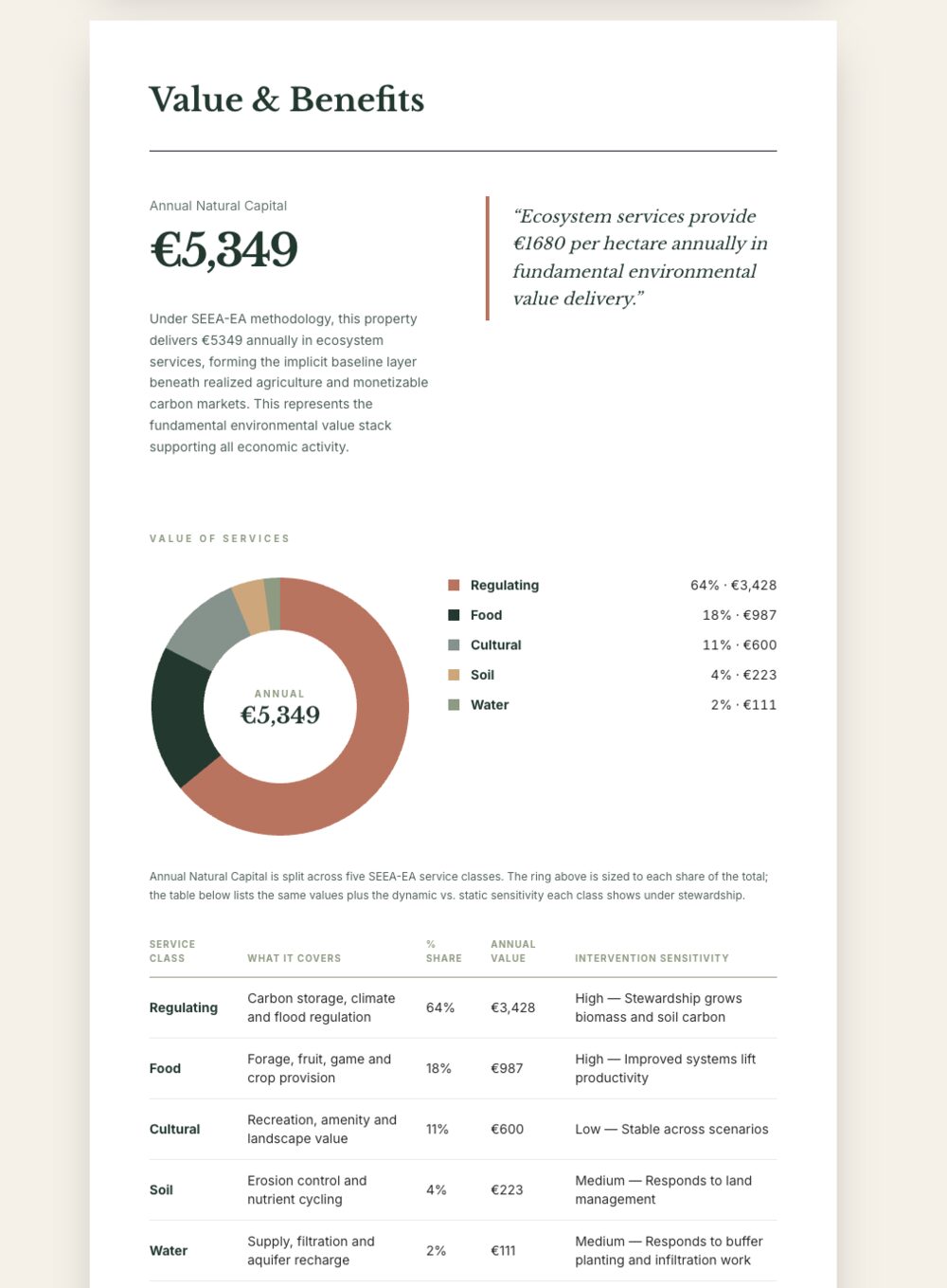
LandBook reveals what your land is truly worth. We map natural capital, biodiversity, risks, and future potential to uncover tens of thousands in hidden value.
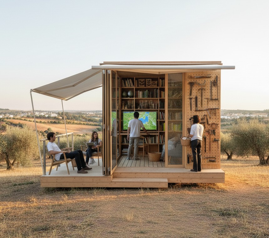
A network of local living library spaces reconnecting people to place and each other. Exchange local knowledge, skills and tools about what works — what grows where, how water flows, and which practices last. Cooperatively owned and operated.
Explore local knowledge. Open to all. Community-contributed, continuously improved. Contribute what you know. Help build the most complete picture of your region, so better decisions get made by the people who live here.
Featured Region